
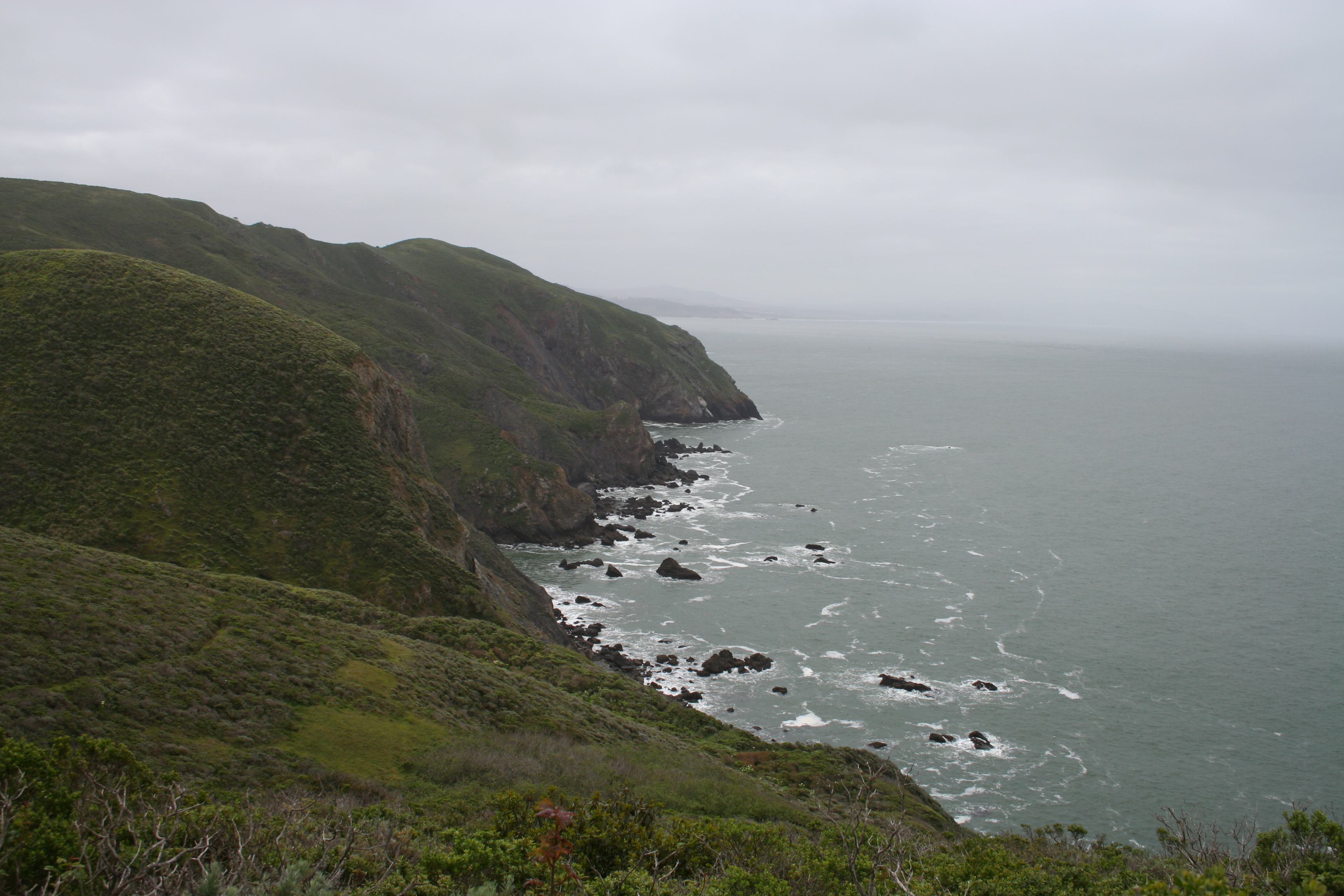
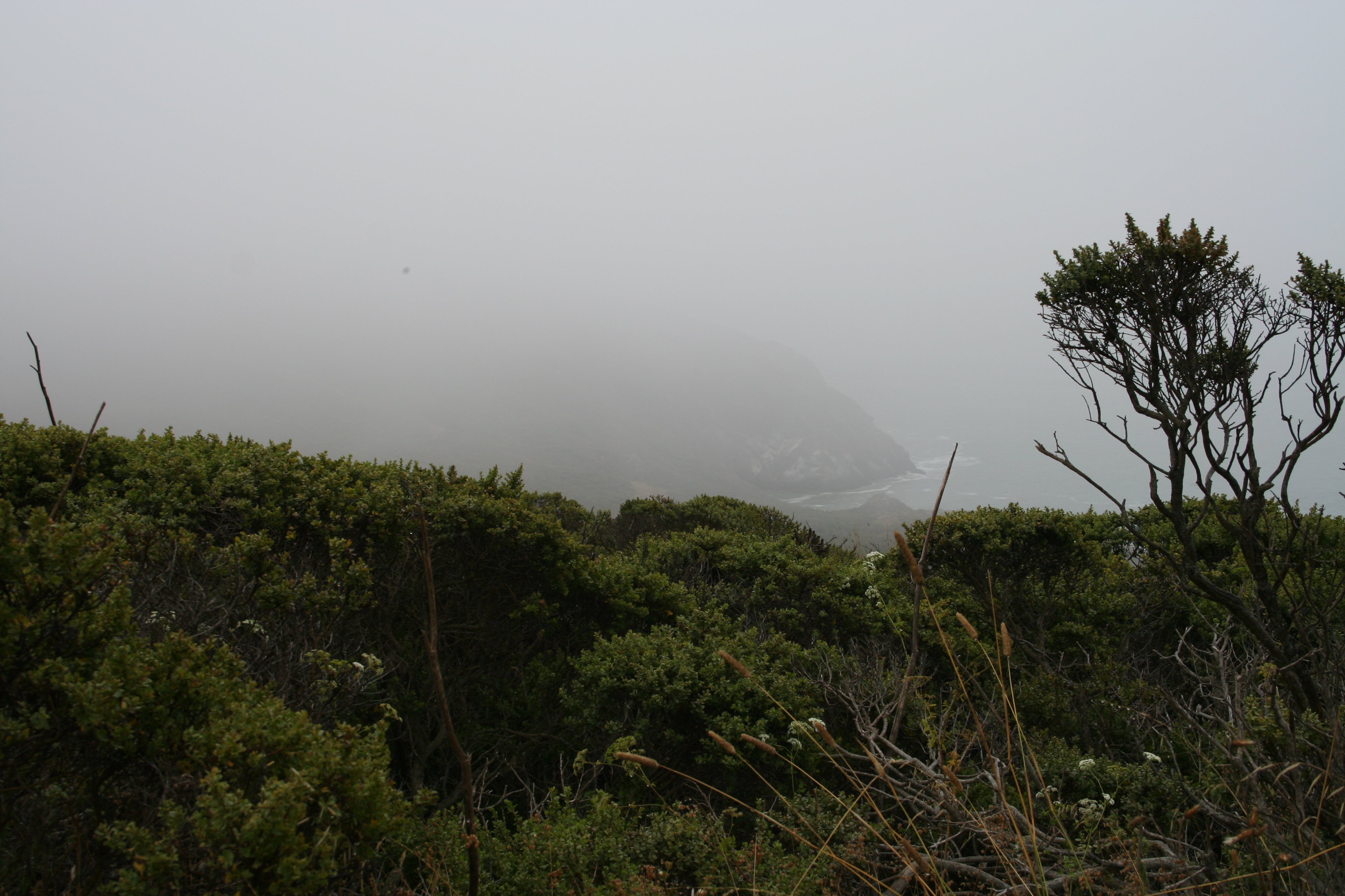
The stretch of the Coastal Trail from Tennessee Valley to Muir Beach is one of my all-time favorites in the Bay Area with postcard perfect views of the Pacific shore that are truly breathtaking, especially on clear days (though foggy days have their own eerie appeal). The hike is made even better with a swing by the Pelican Inn for a mid-hike hot cocoa on cold days or beer on the lawn on warm ones. You can even grab fish and chips or a salad if you want a full lunch before your hike back to the car.
If you’d rather finish your hike at the inn, you can start from Muir Beach and do the hike in reverse, with one suggested alteration: When you reach Tennessee Valley Trail instead of proceeding to the left to the parking lot, turn right to go to Tennessee Cove. So the route would be Muir Beach, south on Coastal Trail, west on Tennessee Valley Trail, then on your return pass Muir Beach to go to Pelican Inn.
| Distance | 9.7 miles | | | Time | 4-5 hours |
|---|---|---|---|---|
| Elev. Gain | 2,386 ft. | | | Elev. Loss | 1,946 ft. |
| Difficulty | Moderate [?] | | | Parking | Easy [?] |
| Trail Signage | Good | | | Bathrooms | At trail start At Muir Beach At Pelican Inn |
The Route
Tennessee Valley Trail » Coastal Trail » Muir Beach » Coastal Trail » Green Gulch Connector Trail » Pacific Way » Pelican Inn
Trail Maps
- GPS track: Download the GPX file. Note: The GPS track starting point is slightly off due to satellite connection issues. Where the track ends is also where you start.
- Area trail map: PDF trail map for Marin Headlands
The Route In Detail:
1. Park at the Tennessee Valley trailhead. There is a decent size parking lot here, however, the first portion of the hike is exceptionally popular as it is on a fairly easy paved all-purpose trail so the lot fills quickly.
2. There’s a bathroom here at the trailhead for a pre-hike pitstop. Then follow the signs for the Tennessee Valley trail. You’ll be on a paved trail along with a lot of runners, families with strollers, bikes and more. Don’t worry, you’ll see be leaving the crowds.
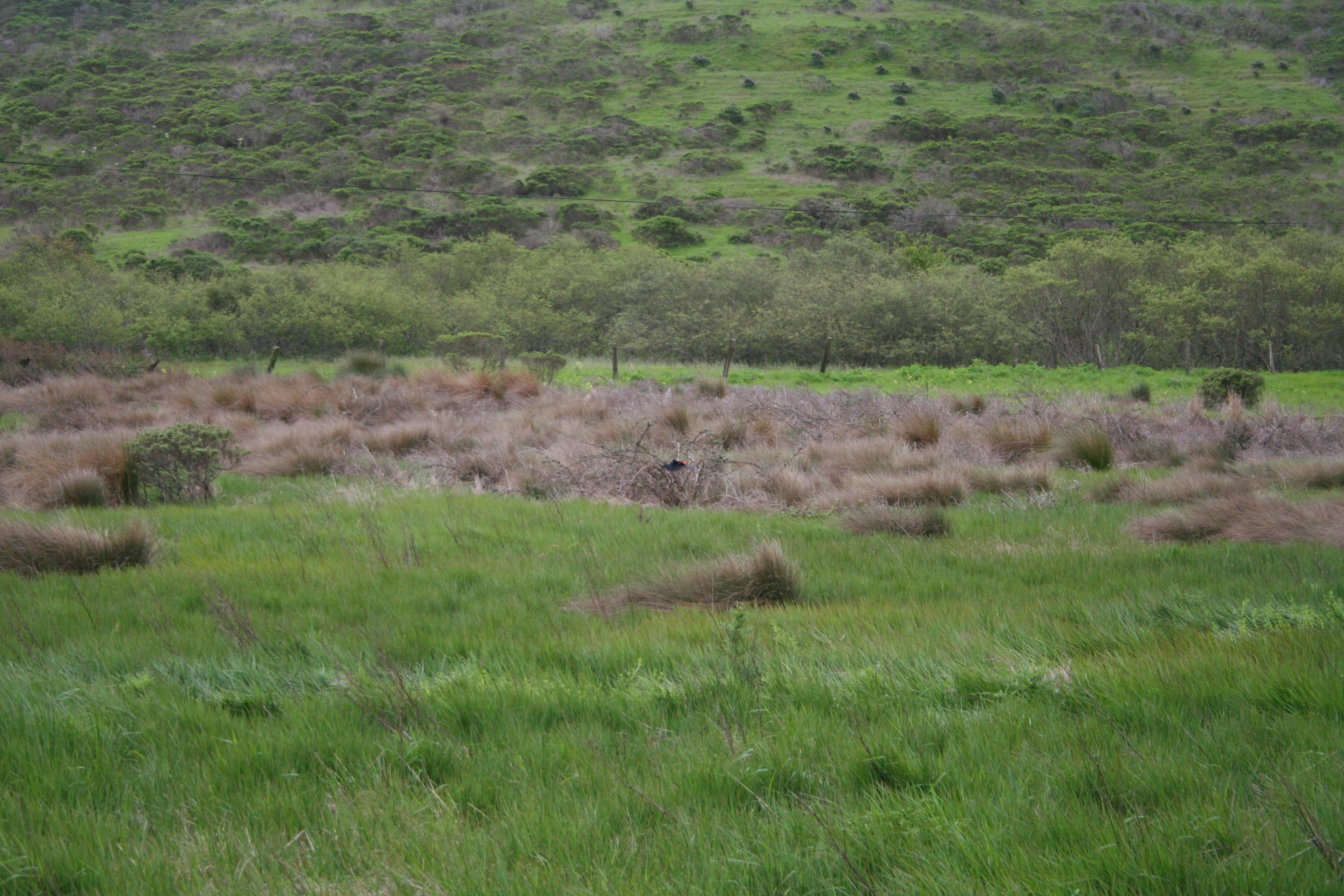
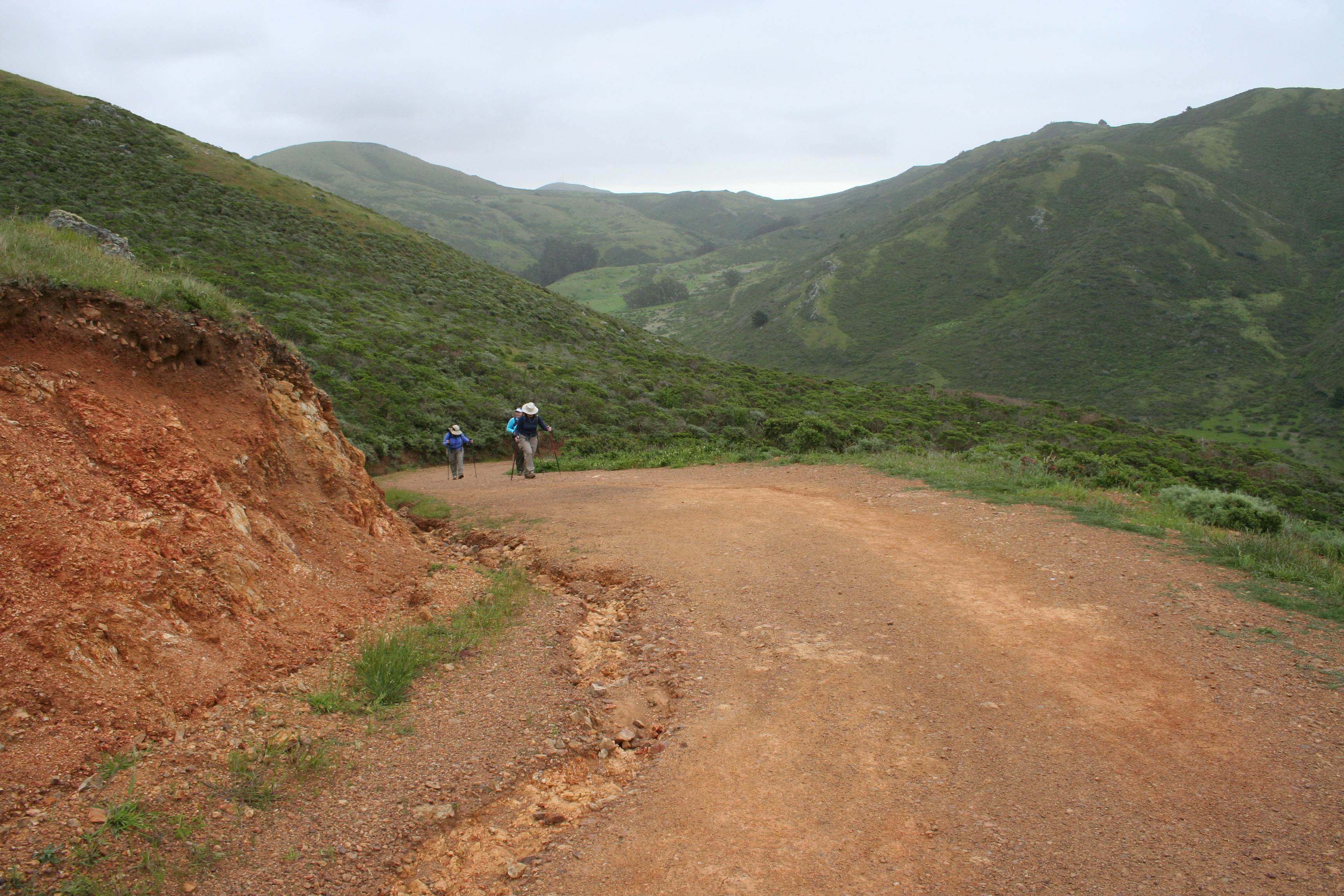
3. Approximately one mile along the trail you will take a right on The Coastal Trail; the dirt track will ascend sharply upward above the Tennessee Valley for some gorgeous views of Tennessee Cove below.
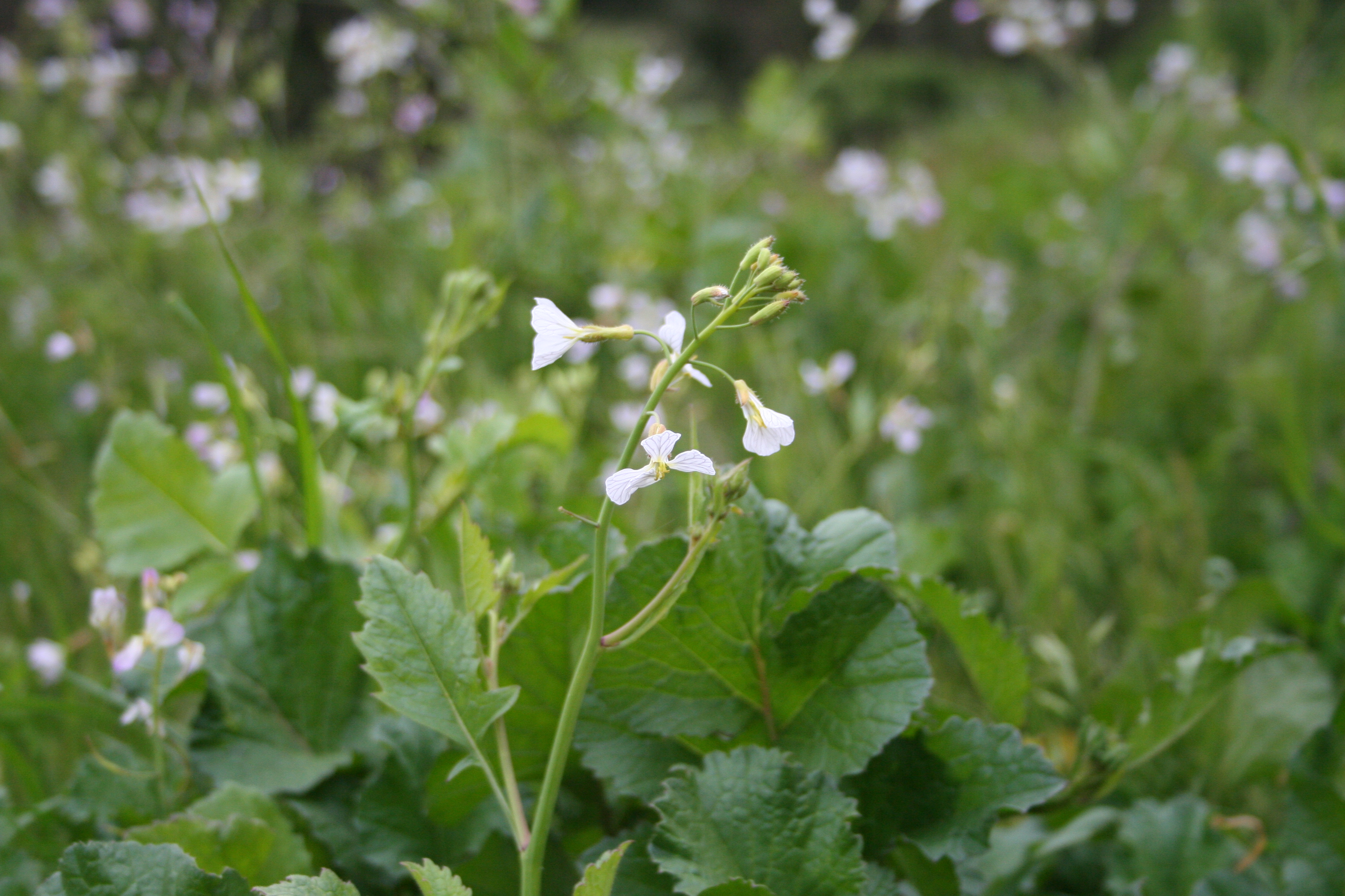
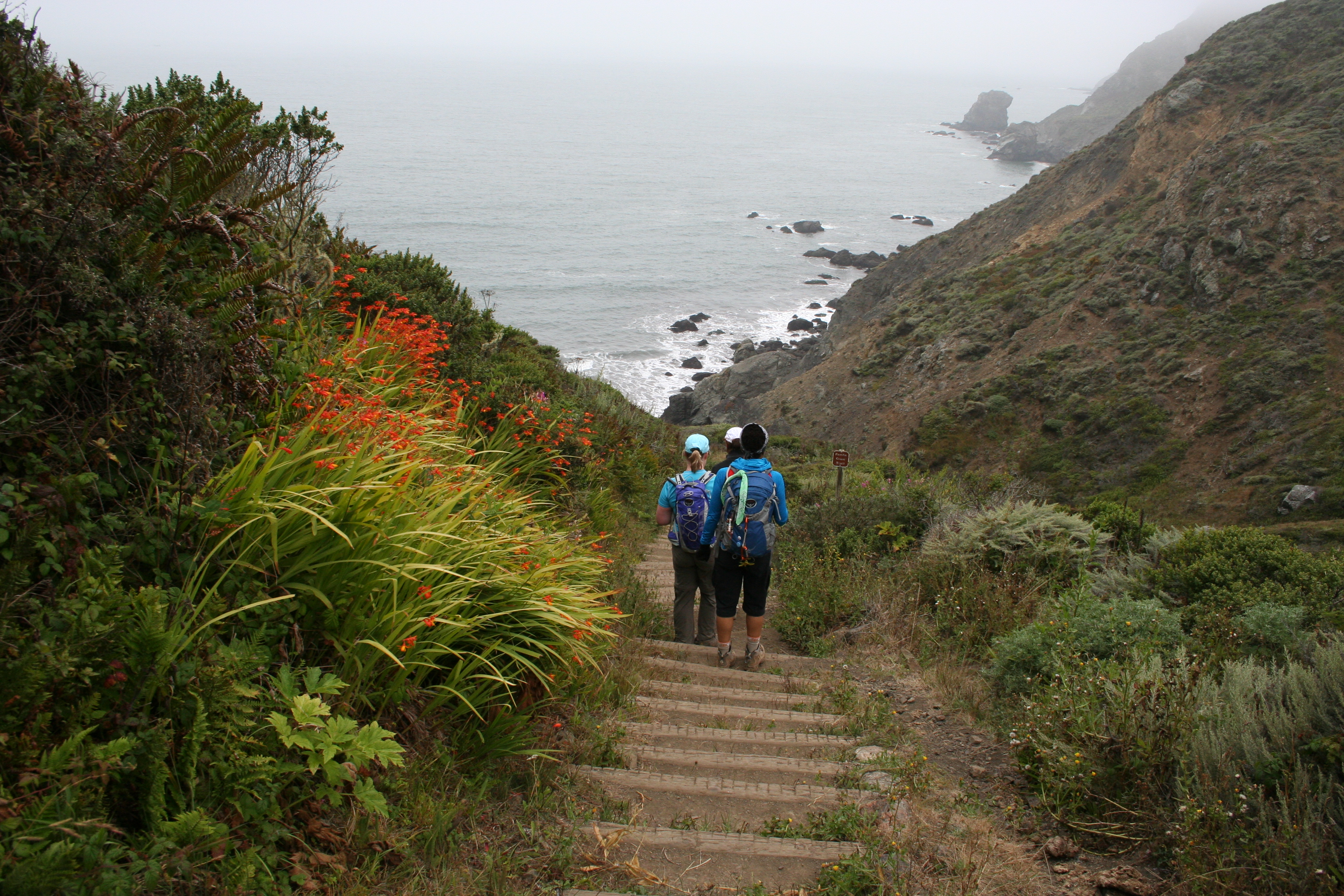
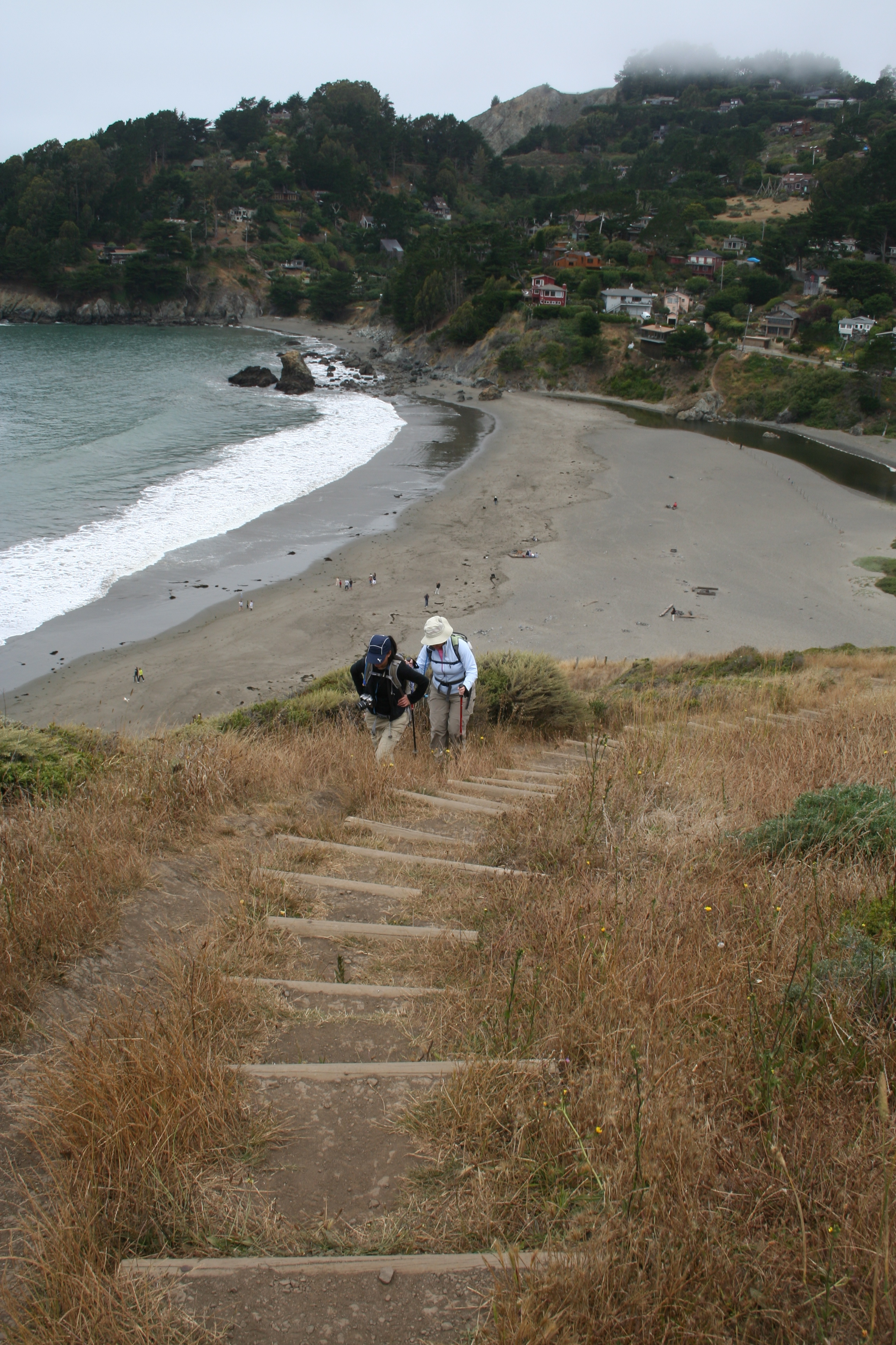
4. Stick with the Coastal Trail as it hugs the shoreline ridge with frequent ocean views. This is a fairly moderate trail with some steep ups and downs and even some stairs; if you have any knee issues at all, I recommend bringing those hiking poles. You’ll pass a few key intersections on your way to Muir Beach including the Coastal Trail Fire Road and a short jaunt down to Pirates Cove; if your want to extend the hike slightly, Pirates Cove (on your left) is worth the stairs down and back up.
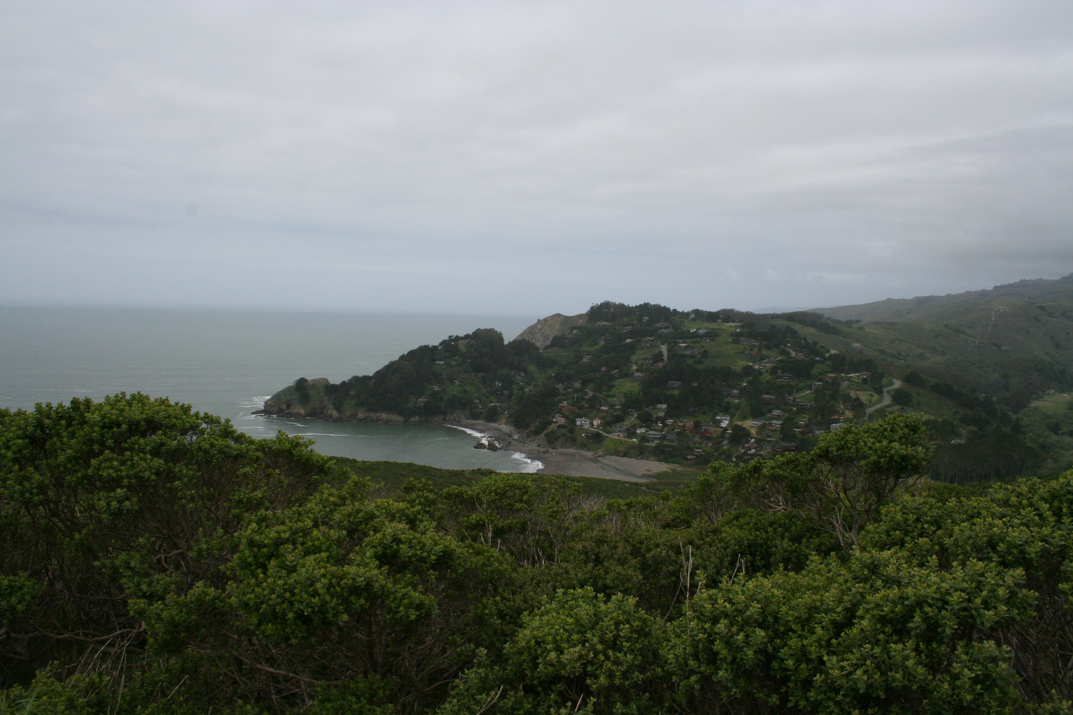
5. You’ll see Muir Beach as you approach it. There are a few routes down to the beach including some sandy stairs on your left or you can take the Coastal Trail to the parking lot and come to the beach from there. Usually windy and chilly, this isn’t general a swim beach for the non-wetsuit wearers, but it is a beautiful spot to take a rest.
6. Head toward the Muir Beach parking lot. From this point you have several options for getting to the final destination of Pelican Inn before your return journey.
- You can simply go to the parking lot, follow the main road inland from there until you come to the intersection with Highway 1 and the Pelican Inn. This is probably the most direct and shortest route and also the least scenic.
- The route we tend to take is to follow the trail signs to Green Gulch continuing on an offshoot of the Coastal Trail. At the intersection where Green Gulch Zen Center veers to your right, follow the trail to your left roughly parallel to Highway 1 until you reach the road Pacific Way. Make a right to get to Pelican Inn.
- Google Maps shows a third option which is simply to continue on the Coastal Trail until you reach Pacific Way, make and right and you’ll be at Pelican Inn. This is a route however that doesn’t appear exactly on the official trail maps and one I haven’t done personally so it may be a mirage of a Google Map.
7. Enjoy a beverage and a break at Pelican Inn before taking the reverse route back to your car.
Photos
Trail Notes & Tips
Difficulty
This hike is a moderately difficult one. There is a lot of elevation in the out and back and even some stairs along the way making it a tough cardio climb at times. The good news is it is somewhat rolling in that there are downs mixed in with the ups (albeit fairly steady uphill at the start of the Coastal Trail and on the reverse trip as you come up from Muir Beach area).
Because of the stairs and some steep spells, I always use my hiking poles to help protect my less than perfect knees.
Trail tip: Keep your camera within reach
It sort of goes without saying, but if you are hiking one of the most scenic stretches of trail in the Marin Headlands, having your camera handy is key to catching all the great views. I like to carry my rather Canon Digital Rebel SLR in a top loading carrier that slips onto my pack’s waistband so it’s always within reach at my front. My particular carrier is the Lowepro Cirrus TLZ 15. Unfortunately this particular model is no longer available, though other brands still have similar cases with the belt loop on the back and a top zipper entry.
Alternately, Lowepro now offers a similar case with a shoulder harness instead of belt loop, the Toploader Zoom. Or a friend sent me a link to this new gadget, the Capture Camera Clip System to let you attach an SLR camera anywhere you like (belt, shoulder strap, etc) which seems like a cool option though lacking the protection of a padded case.
Getting There
Directions
Here is the Google Map of the trailhead
From San Francisco and the South
- US-101 North over Golden Gate Bridge
- Exit Stinson Beach/Highway 1
- Follow signs for Highway 1/Shoreline Highway until you see Tennessee Valley Road on your left; if you pass the Walgreens and the Dipsea Cafe, you’ve gone too far.
- Continue on the Tennessee Valley Road until you read the trailhead parking lot
From the East Bay
- I-580 West across the Richmond/San Rafael Bridge
- Exit on Sir Francis Drake Blvd
- Exit US-101 South
- Exit at Stinson Beach/Highway 1
- Follow signs for Highway 1/Shoreline Highway until you see Tennessee Valley Road on your left; if you pass the Walgreens and the Dipsea Cafe, you’ve gone too far.
- Continue on the Tennessee Valley Road until you read the trailhead parking lot
From the north
- US-101 South
- Exit at Stinson Beach/Highway 1
- Follow signs for Highway 1/Shoreline Highway until you see Tennessee Valley Road on your left; if you pass the Walgreens and the Dipsea Cafe, you’ve gone too far.
- Continue on the Tennessee Valley Road until you read the trailhead parking lot
Parking
There is a decent size parking lot here, however, the first portion of the hike is exceptionally popular as it is on a fairly easy paved all-purpose trail so the lot fills quickly. The earlier in the morning you arrive the easier it will be to park. If the lot is full, you can park along the road that leads to the trailhead.


Hiked this exactly as described just two days ago and it took about 3 hours round trip, and I think was under 7 miles according to the signage posted along the trail. Very beautiful hike.
Hey Che – did you go all the way to the Pelican Inn? It’s about 7 miles if you go from Tennessee Valley to Muir Beach and back, but it adds a bit if you are travelling all the way to the Inn beyond the beach. There’s also a definite mileage difference if you take the road to Pelican in vs. going by Green Gulch Zen Center (the mapped route is the latter and longer option).
Glad you enjoyed it!
[…] our friend Alex we hiked the Coastal Trail from Tennessee Valley in Mill Valley to the Pelican Inn and […]